TRAIL TOUR CERVINO

Trekking Tours
Start Date | August 13, 2024
6 Stages

TRIP SUMMARY

  • Guided tour of 6 stages / 5 nights of duration through the Alps, traveling Switzerland and Italy
  • A tour of extraordinary beauty of 145km around the Matterhorn
  • A group formed by Trail Running enthusiasts who live the same passion as you for the mountains.
  • A journey of total disconnectionFor a few days, your world will only be the mountains, your group of companions, your backpack, your muscle aches and you.
  • Group reduced to 10 trail runners.

TRIP DESCRIPTION

The Matterhorn, at 4,478 meters high, is one of the most iconic mountains in the Alps due to its distinctive pyramid shape. It is located on the border between Switzerland and Italy (between the towns of Zermatt on the Swiss side and Breuil-Cervinia on the Italian side).

For approximately 145 km of crossing and more than 12,000 meters of positive elevation gain We'll almost complete the legendary Matterhorn mountain. The Matterhorn Tour is a trail that takes you into some of the beautiful Swiss and Italian surroundings of the Matterhorn. It's part of a select group of treks that you should do at least once in your life.

It borders the largest concentration of four-thousanders in the Alps.

ROUTE

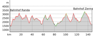
Day 1 –RANDA-TOPALIHUTTE

  • Start of the 1st Stage.

Meeting point at RANDA train station at 7:00 a.m. sharp.

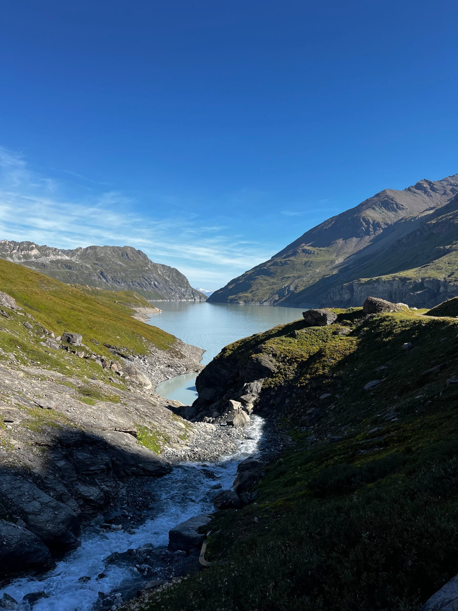
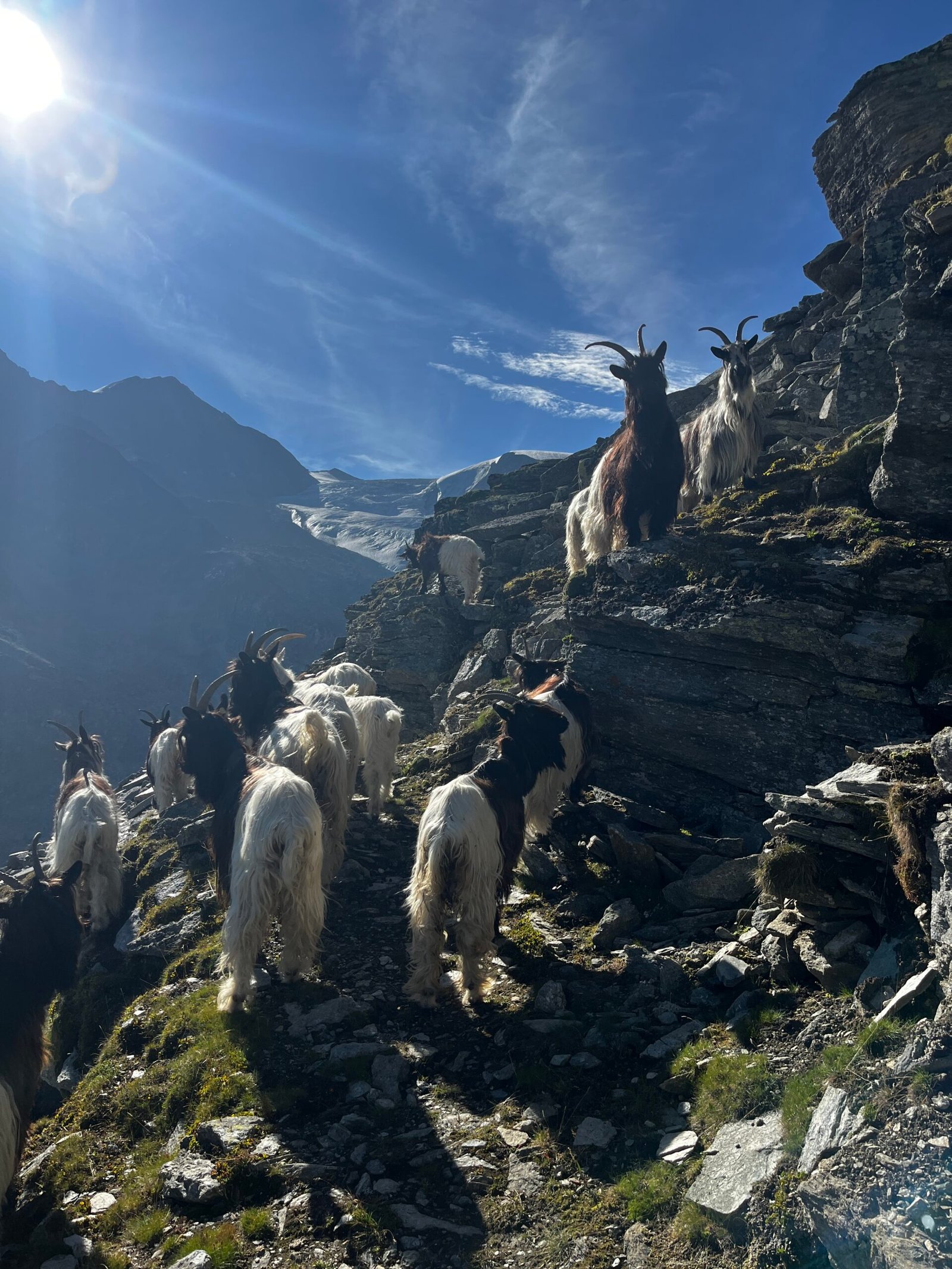
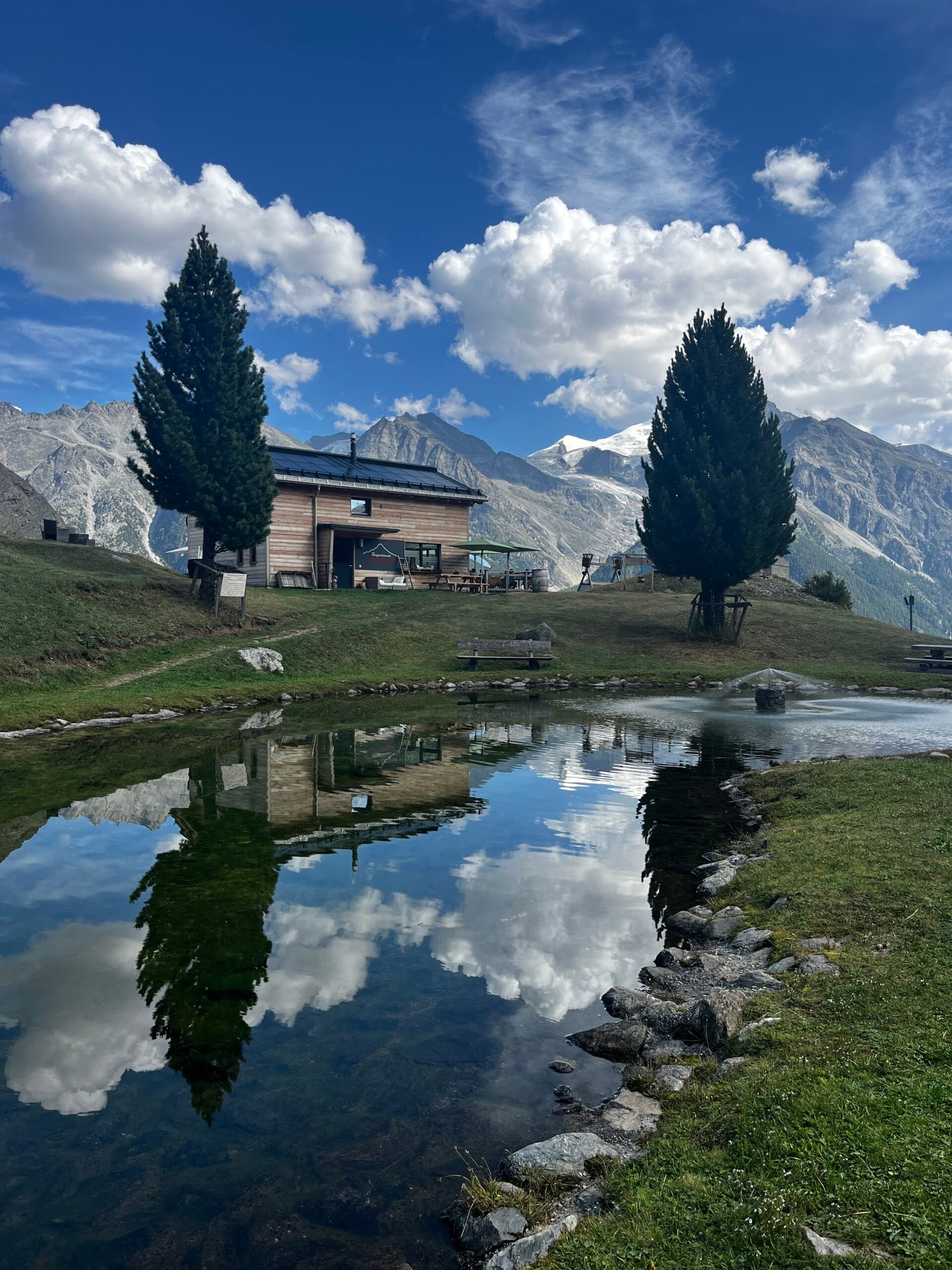
There we began our Tour of the Matterhorn, trail running version

  • Distance: 12 km| Elevation: 2100 + m / 923 – m 

Day 2:  -TOPALIHUTTE-GRUBEN

  • Start of Stage 2.
  • Distance: 20 km| Elevation: 1397 + m / 2224 – m  

Day 3:  -GRUBEN-ZINAL

  • Start of Stage 3.
  • Distance: 22.1km| Elevation: 1530 + m / 1681 – m

Day 4:   -ZINAL-AROLLA

  • Start of Stage 4.
  • Distance: 32.5km| Elevation: 2687 + m / 2348 – m 

Day 5:   -AROLLA -PERUCCA VUILLERMOZ SHELTER

  • Start of Stage 5.
  • Distance: 24.8km| Elevation: 2549 + m / 1675 – m 

Day 6:   -AROLLA- ZERMATT

  • Start of the LAST Stage.
  • Distance: 32.4km| Elevation difference: 1952 + m / 3235– m 

Note: The planned itinerary may vary slightly depending on weather conditions and terrain. 


EVENT DATA

STARTING PLACE

RANDA (SWITZERLAND)

DISTANCE

145 km

UNEVENNESS +

12,000 meters

DURATION

6 Stages

TOUR START DATE

August 13, 2024

TOUR END DATE

August 18, 2024

Nº PARTICIPANTS

10 Participants

MANDATORY MATERIAL

Hydration Backpack 20 - 25L
Folding walking sticks
Water 1 - 1.5L
Waterproof/Windproof Jacket
Sack sheet
Towel
Gloves
Footwear for relaxation
Earplugs
Personal hygiene material
Sunscreen
Frontal

LEVEL PARTICIPANTS

Expert
CHECK YOUR PHYSICAL LEVEL

If you have any questions, please contact us, we will be happy to help you and see if this adventure is for you. 

PRICE

1150 Euros

What does the price include?

  • Planning, route preparation, and monitoring weather conditions.
  • Registration management and advice before the route
  • The route is guided by two mountain guides specialized in trail riding.
  • Accommodation in shelters in the form of HALF BOARD from the first day/night(accommodation, dinner, breakfast)
  • Accident insurance for activities carried out in the natural environment.

What is NOT included in the price?

  • The trip to RANDA
  • The meals
  • Extra expenses in the shelters (use of showers, extra drinks, etc.)
  • expenses incurred by abandoning the route for any reason,
  • expenses incurred due to changes in the route for safety reasons (transfers, changes in shelters, etc.).
  • Cancellation and repatriation insurance

ADDITIONAL INFORMATION

EVENT LOCATION
ALTATREK
Privacy Overview

This website uses cookies so that we can provide you with the best user experience possible. Cookie information is stored in your browser and performs functions such as recognising you when you return to our website and helping our team to understand which sections of the website you find most interesting and useful.